Our Innovation Project
Our innovation project is a drone designed to scan and analyze difficult terrain. It uses LiDAR to identify areas of interest and ground-penetrating radar to scan beneath the surface, even on slopes. The data is sent back to a lab for processing. To support extended missions, the drone can land at a nearby base station that swaps its battery and fuel cell cartridges.
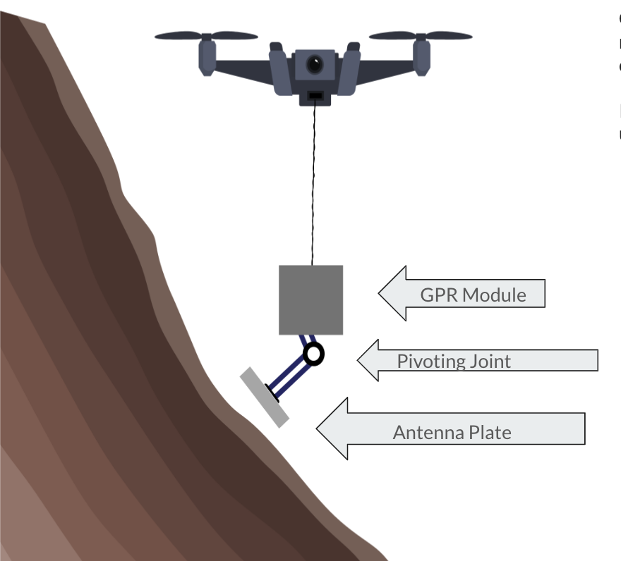
Original Canva rendering of our drone.